Toronto AR Map
Synopsis
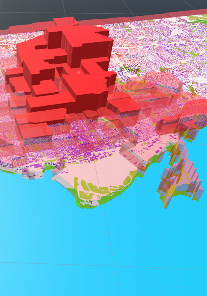
The Toronto AR Map is an interactive augmented reality installation created entirely using publicly available Toronto open government data. The purpose of the TO AR Map is to explore how new media platforms could be used to enable communication between citizens and government in a novel and engaging way. The AR map is designed such that users can investigate data both at the local and city-wide levels, either by focusing their mobile device’s camera on local neighbourhood regions up-close or by capturing the entire map into the camera view, respectively. My hope for this installation is that it might stimulate democratic discussion between citizens about issues related to their city, as well as make them more aware of their city’s publicly available resources. Finally, Toronto is a wonderful city, and the Toronto AR Map offers a unique view to appreciate it.